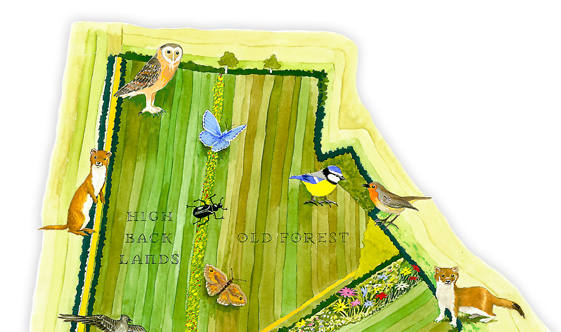
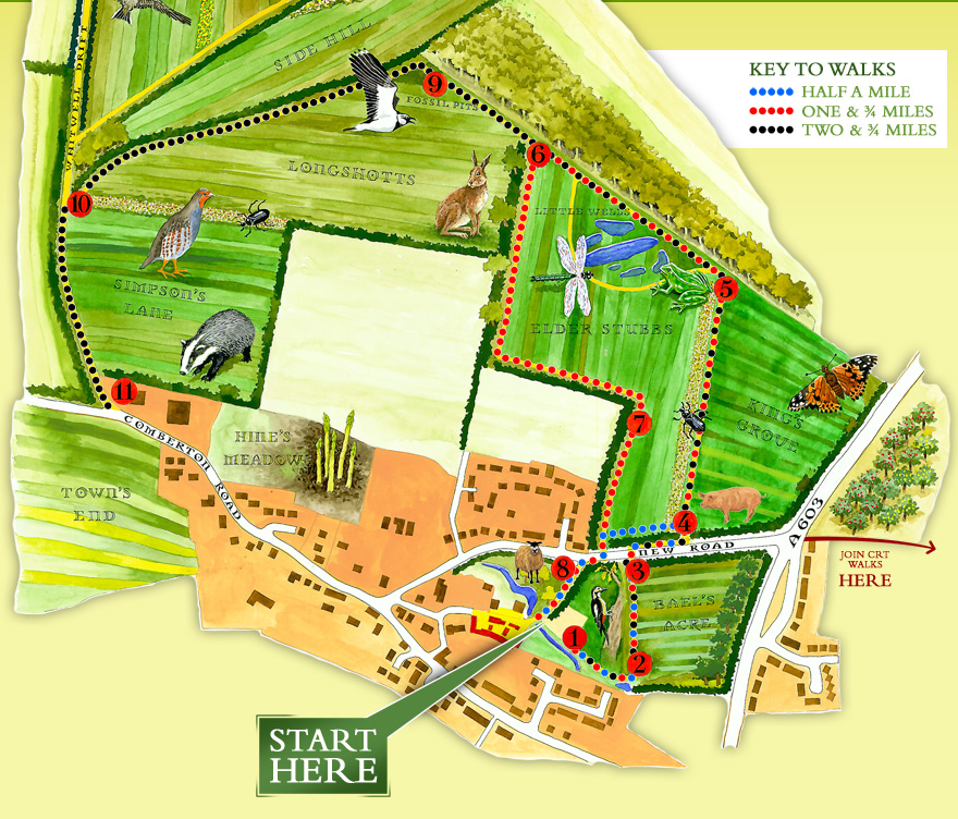
Hopefully this map speaks
for itself. You can come and do the walks whenever you want, leaflets are available
in the main car park, which is also where
the walks start from. We've got public toilets
in the first courtyard, plus our own food
shop, The
Larder, where you can purchase food
for a picnic. Or you could opt for a meal
at The
Barn Tea-Rooms, also on site.
If you'd like to make it an even bigger
walk, our friends at the Countryside
Restoration Trust also have signed walks,
and the map shows you how to join theirs
to ours.
There are 11 signs as you go around the
walks which tell you a bit about what you're
seeing, if you'd like to know in advance
please click the relevant board number on
the map below and get a sneak preview!
Please keep dogs on a lead.
Stay on the paths, if you wander off you might
damage crops or conservation areas.
Keep an eye on children, especially near the ponds.